
تتضمّن العديد من التطبيقات مستندات يتم فهرسة محتواها حسب المواقع الجغرافية. على سبيل المثال، قد يسمح تطبيقك للمستخدمين بتصفّح المتاجر القريبة من موقعهم الجغرافي الحالي.
الحل: Geohashes
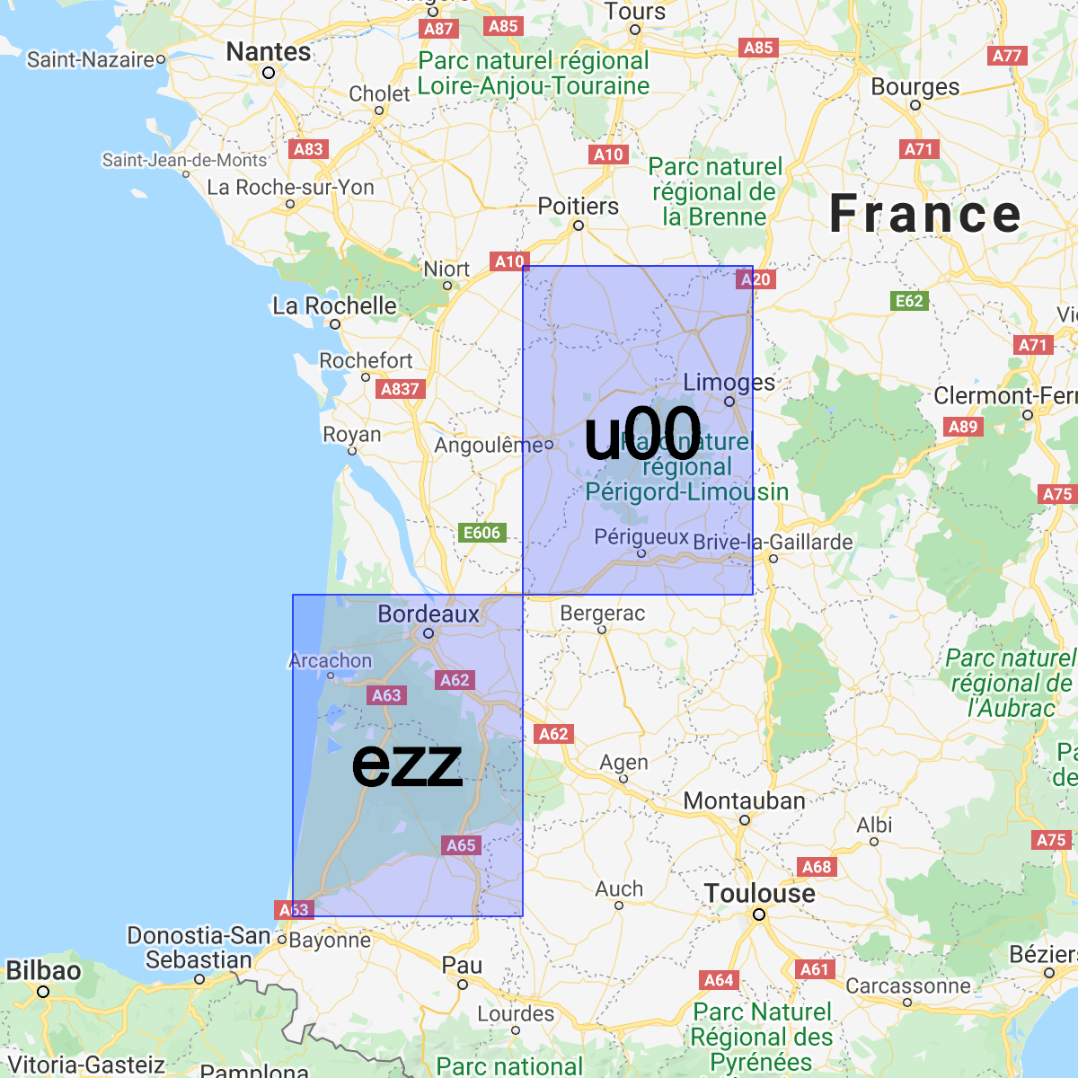
Geohash هو نظام لترميز زوج (latitude, longitude) في سلسلة Base32 واحدة. في نظام Geohash، يتم تقسيم العالم إلى شبكة مستطيلة.
يحدّد كل حرف من سلسلة Geohash أحد الأقسام الفرعية الـ 32 من تجزئة البادئة. على سبيل المثال، Geohash abcd هو أحد 32 رمزًا مجزأً مكوّنًا من أربعة أحرف
ومضمّنًا بالكامل في Geohash abc الأكبر.
كلما طالت البادئة المشتركة بين قيمتَي التجزئة، زاد تقاربهما. على سبيل المثال، abcdef أقرب إلى abcdeg من abcdff. ومع ذلك، لا يصح العكس. قد تكون منطقتان قريبتَين جدًا من بعضهما البعض، ولكن لديهما Geohash مختلف تمامًا:
يمكننا استخدام Geohashes لتخزين المستندات والبحث فيها حسب الموقع الجغرافي في Cloud Firestore بكفاءة معقولة مع الحاجة إلى حقل واحد فقط مفهرس.
تثبيت مكتبة المساعد
يتضمّن إنشاء رموز Geohash وتحليلها بعض العمليات الحسابية المعقّدة، لذا أنشأنا مكتبات مساعدة لتجريد الأجزاء الأكثر صعوبة على Android وApple والويب:
Web
// Install from NPM. If you prefer to use a static .js file visit
// https://github.com/firebase/geofire-js/releases and download
// geofire-common.min.js from the latest version
npm install --save geofire-common
Web
// Install from NPM. If you prefer to use a static .js file visit
// https://github.com/firebase/geofire-js/releases and download
// geofire-common.min.js from the latest version
npm install --save geofire-common
Swift
Kotlin
// Add this to your app/build.gradle
implementation 'com.firebase:geofire-android-common:3.2.0'
Java
// Add this to your app/build.gradle
implementation 'com.firebase:geofire-android-common:3.1.0'
رموز GeoHash للمتاجر
بالنسبة إلى كل مستند تريد فهرسته حسب الموقع الجغرافي، عليك تخزين حقل Geohash:
Web
import { doc, updateDoc } from 'firebase/firestore'; // Compute the GeoHash for a lat/lng point const lat = 51.5074; const lng = 0.1278; const hash = geofire.geohashForLocation([lat, lng]); // Add the hash and the lat/lng to the document. We will use the hash // for queries and the lat/lng for distance comparisons. const londonRef = doc(db, 'cities', 'LON'); await updateDoc(londonRef, { geohash: hash, lat: lat, lng: lng });
Web
// Compute the GeoHash for a lat/lng point const lat = 51.5074; const lng = 0.1278; const hash = geofire.geohashForLocation([lat, lng]); // Add the hash and the lat/lng to the document. We will use the hash // for queries and the lat/lng for distance comparisons. const londonRef = db.collection('cities').doc('LON'); londonRef.update({ geohash: hash, lat: lat, lng: lng }).then(() => { // ... });
Swift
// Compute the GeoHash for a lat/lng point let latitude = 51.5074 let longitude = 0.12780 let location = CLLocationCoordinate2D(latitude: latitude, longitude: longitude) let hash = GFUtils.geoHash(forLocation: location) // Add the hash and the lat/lng to the document. We will use the hash // for queries and the lat/lng for distance comparisons. let documentData: [String: Any] = [ "geohash": hash, "lat": latitude, "lng": longitude ] let londonRef = db.collection("cities").document("LON") londonRef.updateData(documentData) { error in // ... }
Kotlin
// Compute the GeoHash for a lat/lng point val lat = 51.5074 val lng = 0.1278 val hash = GeoFireUtils.getGeoHashForLocation(GeoLocation(lat, lng)) // Add the hash and the lat/lng to the document. We will use the hash // for queries and the lat/lng for distance comparisons. val updates: MutableMap<String, Any> = mutableMapOf( "geohash" to hash, "lat" to lat, "lng" to lng, ) val londonRef = db.collection("cities").document("LON") londonRef.update(updates) .addOnCompleteListener { // ... }
Java
// Compute the GeoHash for a lat/lng point double lat = 51.5074; double lng = 0.1278; String hash = GeoFireUtils.getGeoHashForLocation(new GeoLocation(lat, lng)); // Add the hash and the lat/lng to the document. We will use the hash // for queries and the lat/lng for distance comparisons. Map<String, Object> updates = new HashMap<>(); updates.put("geohash", hash); updates.put("lat", lat); updates.put("lng", lng); DocumentReference londonRef = db.collection("cities").document("LON"); londonRef.update(updates) .addOnCompleteListener(new OnCompleteListener<Void>() { @Override public void onComplete(@NonNull Task<Void> task) { // ... } });
Geohashes لطلبات البحث
تتيح لنا رموز Geohash تقريب طلبات البحث عن المناطق من خلال دمج مجموعة من طلبات البحث في حقل Geohash ثم فلترة بعض النتائج الإيجابية الخاطئة:
Web
import { collection, query, orderBy, startAt, endAt, getDocs } from 'firebase/firestore'; // Find cities within 50km of London const center = [51.5074, 0.1278]; const radiusInM = 50 * 1000; // Each item in 'bounds' represents a startAt/endAt pair. We have to issue // a separate query for each pair. There can be up to 9 pairs of bounds // depending on overlap, but in most cases there are 4. // @ts-ignore const bounds = geofire.geohashQueryBounds(center, radiusInM); const promises = []; for (const b of bounds) { const q = query( collection(db, 'cities'), orderBy('geohash'), startAt(b[0]), endAt(b[1])); promises.push(getDocs(q)); } // Collect all the query results together into a single list const snapshots = await Promise.all(promises); const matchingDocs = []; for (const snap of snapshots) { for (const doc of snap.docs) { const lat = doc.get('lat'); const lng = doc.get('lng'); // We have to filter out a few false positives due to GeoHash // accuracy, but most will match // @ts-ignore const distanceInKm = geofire.distanceBetween([lat, lng], center); const distanceInM = distanceInKm * 1000; if (distanceInM <= radiusInM) { matchingDocs.push(doc); } } }
Web
// Find cities within 50km of London const center = [51.5074, 0.1278]; const radiusInM = 50 * 1000; // Each item in 'bounds' represents a startAt/endAt pair. We have to issue // a separate query for each pair. There can be up to 9 pairs of bounds // depending on overlap, but in most cases there are 4. const bounds = geofire.geohashQueryBounds(center, radiusInM); const promises = []; for (const b of bounds) { const q = db.collection('cities') .orderBy('geohash') .startAt(b[0]) .endAt(b[1]); promises.push(q.get()); } // Collect all the query results together into a single list Promise.all(promises).then((snapshots) => { const matchingDocs = []; for (const snap of snapshots) { for (const doc of snap.docs) { const lat = doc.get('lat'); const lng = doc.get('lng'); // We have to filter out a few false positives due to GeoHash // accuracy, but most will match const distanceInKm = geofire.distanceBetween([lat, lng], center); const distanceInM = distanceInKm * 1000; if (distanceInM <= radiusInM) { matchingDocs.push(doc); } } } return matchingDocs; }).then((matchingDocs) => { // Process the matching documents // ... });
Swift
// Find cities within 50km of London let center = CLLocationCoordinate2D(latitude: 51.5074, longitude: 0.1278) let radiusInM: Double = 50 * 1000 // Each item in 'bounds' represents a startAt/endAt pair. We have to issue // a separate query for each pair. There can be up to 9 pairs of bounds // depending on overlap, but in most cases there are 4. let queryBounds = GFUtils.queryBounds(forLocation: center, withRadius: radiusInM) let queries = queryBounds.map { bound -> Query in return db.collection("cities") .order(by: "geohash") .start(at: [bound.startValue]) .end(at: [bound.endValue]) } @Sendable func fetchMatchingDocs(from query: Query, center: CLLocationCoordinate2D, radiusInMeters: Double) async throws -> [QueryDocumentSnapshot] { let snapshot = try await query.getDocuments() // Collect all the query results together into a single list return snapshot.documents.filter { document in let lat = document.data()["lat"] as? Double ?? 0 let lng = document.data()["lng"] as? Double ?? 0 let coordinates = CLLocation(latitude: lat, longitude: lng) let centerPoint = CLLocation(latitude: center.latitude, longitude: center.longitude) // We have to filter out a few false positives due to GeoHash accuracy, but // most will match let distance = GFUtils.distance(from: centerPoint, to: coordinates) return distance <= radiusInM } } // After all callbacks have executed, matchingDocs contains the result. Note that this code // executes all queries serially, which may not be optimal for performance. do { let matchingDocs = try await withThrowingTaskGroup(of: [QueryDocumentSnapshot].self) { group -> [QueryDocumentSnapshot] in for query in queries { group.addTask { try await fetchMatchingDocs(from: query, center: center, radiusInMeters: radiusInM) } } var matchingDocs = [QueryDocumentSnapshot]() for try await documents in group { matchingDocs.append(contentsOf: documents) } return matchingDocs } print("Docs matching geoquery: \(matchingDocs)") } catch { print("Unable to fetch snapshot data. \(error)") }
Kotlin
// Find cities within 50km of London val center = GeoLocation(51.5074, 0.1278) val radiusInM = 50.0 * 1000.0 // Each item in 'bounds' represents a startAt/endAt pair. We have to issue // a separate query for each pair. There can be up to 9 pairs of bounds // depending on overlap, but in most cases there are 4. val bounds = GeoFireUtils.getGeoHashQueryBounds(center, radiusInM) val tasks: MutableList<Task<QuerySnapshot>> = ArrayList() for (b in bounds) { val q = db.collection("cities") .orderBy("geohash") .startAt(b.startHash) .endAt(b.endHash) tasks.add(q.get()) } // Collect all the query results together into a single list Tasks.whenAllComplete(tasks) .addOnCompleteListener { val matchingDocs: MutableList<DocumentSnapshot> = ArrayList() for (task in tasks) { val snap = task.result for (doc in snap!!.documents) { val lat = doc.getDouble("lat")!! val lng = doc.getDouble("lng")!! // We have to filter out a few false positives due to GeoHash // accuracy, but most will match val docLocation = GeoLocation(lat, lng) val distanceInM = GeoFireUtils.getDistanceBetween(docLocation, center) if (distanceInM <= radiusInM) { matchingDocs.add(doc) } } } // matchingDocs contains the results // ... }
Java
// Find cities within 50km of London final GeoLocation center = new GeoLocation(51.5074, 0.1278); final double radiusInM = 50 * 1000; // Each item in 'bounds' represents a startAt/endAt pair. We have to issue // a separate query for each pair. There can be up to 9 pairs of bounds // depending on overlap, but in most cases there are 4. List<GeoQueryBounds> bounds = GeoFireUtils.getGeoHashQueryBounds(center, radiusInM); final List<Task<QuerySnapshot>> tasks = new ArrayList<>(); for (GeoQueryBounds b : bounds) { Query q = db.collection("cities") .orderBy("geohash") .startAt(b.startHash) .endAt(b.endHash); tasks.add(q.get()); } // Collect all the query results together into a single list Tasks.whenAllComplete(tasks) .addOnCompleteListener(new OnCompleteListener<List<Task<?>>>() { @Override public void onComplete(@NonNull Task<List<Task<?>>> t) { List<DocumentSnapshot> matchingDocs = new ArrayList<>(); for (Task<QuerySnapshot> task : tasks) { QuerySnapshot snap = task.getResult(); for (DocumentSnapshot doc : snap.getDocuments()) { double lat = doc.getDouble("lat"); double lng = doc.getDouble("lng"); // We have to filter out a few false positives due to GeoHash // accuracy, but most will match GeoLocation docLocation = new GeoLocation(lat, lng); double distanceInM = GeoFireUtils.getDistanceBetween(docLocation, center); if (distanceInM <= radiusInM) { matchingDocs.add(doc); } } } // matchingDocs contains the results // ... } });
القيود
يتيح لنا استخدام Geohashes للاستعلام عن المواقع الجغرافية إمكانات جديدة، ولكنّه يتضمّن مجموعة من القيود:
- النتائج الموجبة الخاطئة: لا تكون عمليات البحث حسب Geohash دقيقة، وعليك استبعاد النتائج الموجبة الخاطئة من جهة العميل. تؤدي عمليات القراءة الإضافية هذه إلى زيادة التكلفة ووقت الاستجابة في تطبيقك.
- الحالات الحدّية: تعتمد طريقة البحث هذه على تقدير المسافة بين خطوط الطول والعرض. تقل دقة هذا التقدير كلما اقتربت النقاط من القطب الشمالي أو الجنوبي، ما يعني أنّ طلبات البحث في Geohash تتضمّن نتائج موجبة خاطئة أكثر عند خطوط العرض القصوى.