
Nhiều ứng dụng có các tài liệu được lập chỉ mục theo vị trí thực. Ví dụ: ứng dụng của bạn có thể cho phép người dùng duyệt xem các cửa hàng gần vị trí hiện tại của họ.
Giải pháp: Geohash
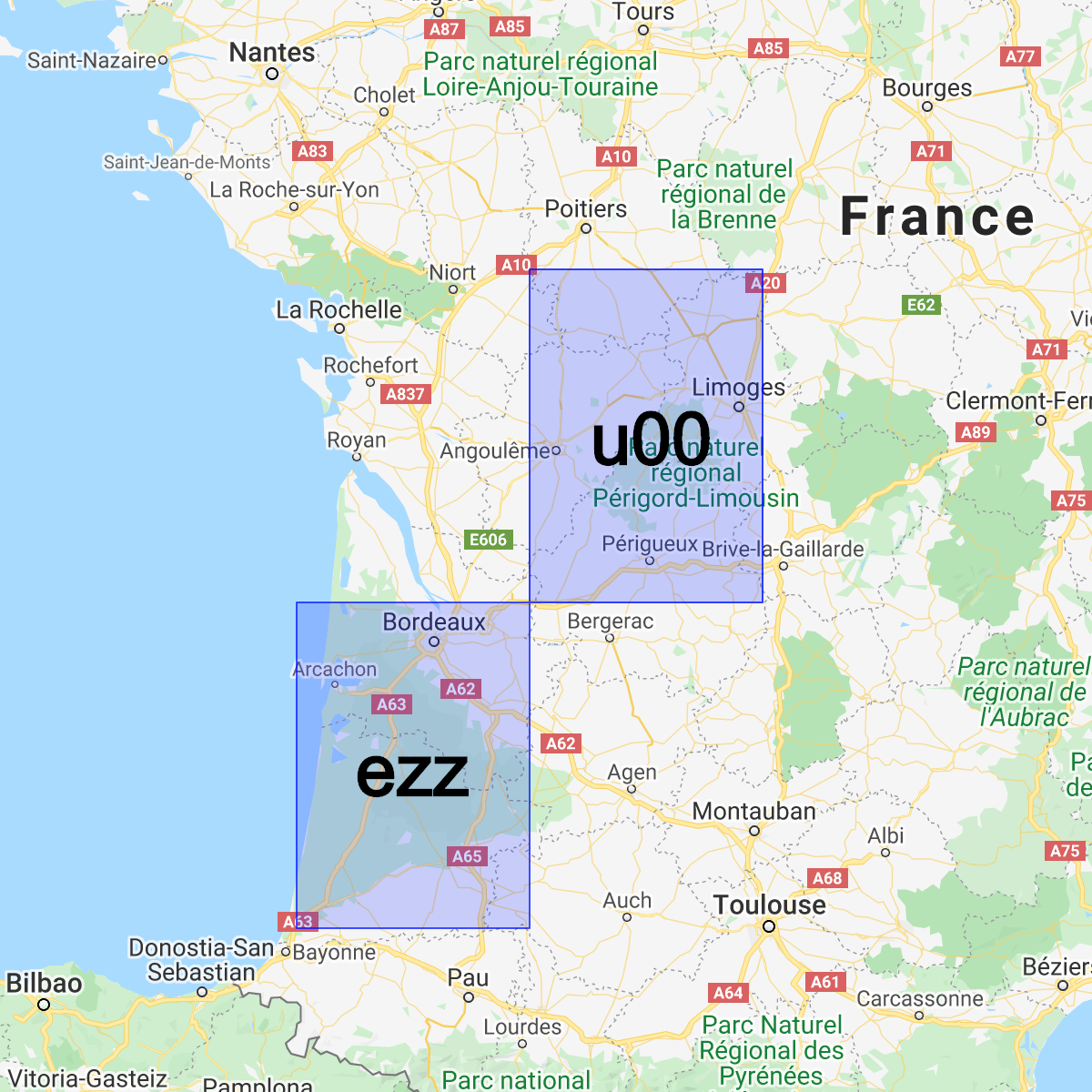
Geohash là một hệ thống để mã hoá cặp (latitude, longitude) thành một chuỗi Base32 duy nhất. Trong hệ thống Geohash, thế giới được chia thành một lưới hình chữ nhật.
Mỗi ký tự của chuỗi Geohash chỉ định một trong 32 phân vùng của mã băm tiền tố. Ví dụ: Geohash abcd là một trong 32 mã băm gồm 4 ký tự
nằm hoàn toàn trong Geohash abc lớn hơn.
Tiền tố chung càng dài giữa 2 mã băm thì chúng càng gần nhau. Ví dụ: abcdef gần abcdeg hơn abcdff. Tuy nhiên, điều ngược lại không đúng! Hai khu vực có thể rất gần nhau nhưng lại có Geohash rất khác nhau:
Chúng ta có thể sử dụng Geohash để lưu trữ và truy vấn tài liệu theo vị trí trong Cloud Firestore một cách hiệu quả hợp lý trong khi chỉ yêu cầu một trường được lập chỉ mục.
Cài đặt thư viện trợ giúp
Việc tạo và phân tích cú pháp Geohash liên quan đến một số phép toán phức tạp. Vì vậy, chúng tôi đã tạo các thư viện trợ giúp để trừu tượng hoá các phần khó nhất trên Android, Apple và Web:
Web
// Install from NPM. If you prefer to use a static .js file visit
// https://github.com/firebase/geofire-js/releases and download
// geofire-common.min.js from the latest version
npm install --save geofire-common
Web
// Install from NPM. If you prefer to use a static .js file visit
// https://github.com/firebase/geofire-js/releases and download
// geofire-common.min.js from the latest version
npm install --save geofire-common
Swift
Kotlin
// Add this to your app/build.gradle
implementation 'com.firebase:geofire-android-common:3.2.0'
Java
// Add this to your app/build.gradle
implementation 'com.firebase:geofire-android-common:3.1.0'
Lưu trữ Geohash
Đối với mỗi tài liệu mà bạn muốn lập chỉ mục theo vị trí, bạn sẽ cần lưu trữ một trường Geohash:
Web
import { doc, updateDoc } from 'firebase/firestore'; // Compute the GeoHash for a lat/lng point const lat = 51.5074; const lng = 0.1278; const hash = geofire.geohashForLocation([lat, lng]); // Add the hash and the lat/lng to the document. We will use the hash // for queries and the lat/lng for distance comparisons. const londonRef = doc(db, 'cities', 'LON'); await updateDoc(londonRef, { geohash: hash, lat: lat, lng: lng });
Web
// Compute the GeoHash for a lat/lng point const lat = 51.5074; const lng = 0.1278; const hash = geofire.geohashForLocation([lat, lng]); // Add the hash and the lat/lng to the document. We will use the hash // for queries and the lat/lng for distance comparisons. const londonRef = db.collection('cities').doc('LON'); londonRef.update({ geohash: hash, lat: lat, lng: lng }).then(() => { // ... });
Swift
// Compute the GeoHash for a lat/lng point let latitude = 51.5074 let longitude = 0.12780 let location = CLLocationCoordinate2D(latitude: latitude, longitude: longitude) let hash = GFUtils.geoHash(forLocation: location) // Add the hash and the lat/lng to the document. We will use the hash // for queries and the lat/lng for distance comparisons. let documentData: [String: Any] = [ "geohash": hash, "lat": latitude, "lng": longitude ] let londonRef = db.collection("cities").document("LON") londonRef.updateData(documentData) { error in // ... }
Kotlin
// Compute the GeoHash for a lat/lng point val lat = 51.5074 val lng = 0.1278 val hash = GeoFireUtils.getGeoHashForLocation(GeoLocation(lat, lng)) // Add the hash and the lat/lng to the document. We will use the hash // for queries and the lat/lng for distance comparisons. val updates: MutableMap<String, Any> = mutableMapOf( "geohash" to hash, "lat" to lat, "lng" to lng, ) val londonRef = db.collection("cities").document("LON") londonRef.update(updates) .addOnCompleteListener { // ... }
Java
// Compute the GeoHash for a lat/lng point double lat = 51.5074; double lng = 0.1278; String hash = GeoFireUtils.getGeoHashForLocation(new GeoLocation(lat, lng)); // Add the hash and the lat/lng to the document. We will use the hash // for queries and the lat/lng for distance comparisons. Map<String, Object> updates = new HashMap<>(); updates.put("geohash", hash); updates.put("lat", lat); updates.put("lng", lng); DocumentReference londonRef = db.collection("cities").document("LON"); londonRef.update(updates) .addOnCompleteListener(new OnCompleteListener<Void>() { @Override public void onComplete(@NonNull Task<Void> task) { // ... } });
Truy vấn Geohash
Geohash cho phép chúng ta ước tính các truy vấn theo khu vực bằng cách kết hợp một tập hợp các truy vấn trên trường Geohash, sau đó lọc ra một số kết quả dương tính giả:
Web
import { collection, query, orderBy, startAt, endAt, getDocs } from 'firebase/firestore'; // Find cities within 50km of London const center = [51.5074, 0.1278]; const radiusInM = 50 * 1000; // Each item in 'bounds' represents a startAt/endAt pair. We have to issue // a separate query for each pair. There can be up to 9 pairs of bounds // depending on overlap, but in most cases there are 4. // @ts-ignore const bounds = geofire.geohashQueryBounds(center, radiusInM); const promises = []; for (const b of bounds) { const q = query( collection(db, 'cities'), orderBy('geohash'), startAt(b[0]), endAt(b[1])); promises.push(getDocs(q)); } // Collect all the query results together into a single list const snapshots = await Promise.all(promises); const matchingDocs = []; for (const snap of snapshots) { for (const doc of snap.docs) { const lat = doc.get('lat'); const lng = doc.get('lng'); // We have to filter out a few false positives due to GeoHash // accuracy, but most will match // @ts-ignore const distanceInKm = geofire.distanceBetween([lat, lng], center); const distanceInM = distanceInKm * 1000; if (distanceInM <= radiusInM) { matchingDocs.push(doc); } } }
Web
// Find cities within 50km of London const center = [51.5074, 0.1278]; const radiusInM = 50 * 1000; // Each item in 'bounds' represents a startAt/endAt pair. We have to issue // a separate query for each pair. There can be up to 9 pairs of bounds // depending on overlap, but in most cases there are 4. const bounds = geofire.geohashQueryBounds(center, radiusInM); const promises = []; for (const b of bounds) { const q = db.collection('cities') .orderBy('geohash') .startAt(b[0]) .endAt(b[1]); promises.push(q.get()); } // Collect all the query results together into a single list Promise.all(promises).then((snapshots) => { const matchingDocs = []; for (const snap of snapshots) { for (const doc of snap.docs) { const lat = doc.get('lat'); const lng = doc.get('lng'); // We have to filter out a few false positives due to GeoHash // accuracy, but most will match const distanceInKm = geofire.distanceBetween([lat, lng], center); const distanceInM = distanceInKm * 1000; if (distanceInM <= radiusInM) { matchingDocs.push(doc); } } } return matchingDocs; }).then((matchingDocs) => { // Process the matching documents // ... });
Swift
// Find cities within 50km of London let center = CLLocationCoordinate2D(latitude: 51.5074, longitude: 0.1278) let radiusInM: Double = 50 * 1000 // Each item in 'bounds' represents a startAt/endAt pair. We have to issue // a separate query for each pair. There can be up to 9 pairs of bounds // depending on overlap, but in most cases there are 4. let queryBounds = GFUtils.queryBounds(forLocation: center, withRadius: radiusInM) let queries = queryBounds.map { bound -> Query in return db.collection("cities") .order(by: "geohash") .start(at: [bound.startValue]) .end(at: [bound.endValue]) } @Sendable func fetchMatchingDocs(from query: Query, center: CLLocationCoordinate2D, radiusInMeters: Double) async throws -> [QueryDocumentSnapshot] { let snapshot = try await query.getDocuments() // Collect all the query results together into a single list return snapshot.documents.filter { document in let lat = document.data()["lat"] as? Double ?? 0 let lng = document.data()["lng"] as? Double ?? 0 let coordinates = CLLocation(latitude: lat, longitude: lng) let centerPoint = CLLocation(latitude: center.latitude, longitude: center.longitude) // We have to filter out a few false positives due to GeoHash accuracy, but // most will match let distance = GFUtils.distance(from: centerPoint, to: coordinates) return distance <= radiusInM } } // After all callbacks have executed, matchingDocs contains the result. Note that this code // executes all queries serially, which may not be optimal for performance. do { let matchingDocs = try await withThrowingTaskGroup(of: [QueryDocumentSnapshot].self) { group -> [QueryDocumentSnapshot] in for query in queries { group.addTask { try await fetchMatchingDocs(from: query, center: center, radiusInMeters: radiusInM) } } var matchingDocs = [QueryDocumentSnapshot]() for try await documents in group { matchingDocs.append(contentsOf: documents) } return matchingDocs } print("Docs matching geoquery: \(matchingDocs)") } catch { print("Unable to fetch snapshot data. \(error)") }
Kotlin
// Find cities within 50km of London val center = GeoLocation(51.5074, 0.1278) val radiusInM = 50.0 * 1000.0 // Each item in 'bounds' represents a startAt/endAt pair. We have to issue // a separate query for each pair. There can be up to 9 pairs of bounds // depending on overlap, but in most cases there are 4. val bounds = GeoFireUtils.getGeoHashQueryBounds(center, radiusInM) val tasks: MutableList<Task<QuerySnapshot>> = ArrayList() for (b in bounds) { val q = db.collection("cities") .orderBy("geohash") .startAt(b.startHash) .endAt(b.endHash) tasks.add(q.get()) } // Collect all the query results together into a single list Tasks.whenAllComplete(tasks) .addOnCompleteListener { val matchingDocs: MutableList<DocumentSnapshot> = ArrayList() for (task in tasks) { val snap = task.result for (doc in snap!!.documents) { val lat = doc.getDouble("lat")!! val lng = doc.getDouble("lng")!! // We have to filter out a few false positives due to GeoHash // accuracy, but most will match val docLocation = GeoLocation(lat, lng) val distanceInM = GeoFireUtils.getDistanceBetween(docLocation, center) if (distanceInM <= radiusInM) { matchingDocs.add(doc) } } } // matchingDocs contains the results // ... }
Java
// Find cities within 50km of London final GeoLocation center = new GeoLocation(51.5074, 0.1278); final double radiusInM = 50 * 1000; // Each item in 'bounds' represents a startAt/endAt pair. We have to issue // a separate query for each pair. There can be up to 9 pairs of bounds // depending on overlap, but in most cases there are 4. List<GeoQueryBounds> bounds = GeoFireUtils.getGeoHashQueryBounds(center, radiusInM); final List<Task<QuerySnapshot>> tasks = new ArrayList<>(); for (GeoQueryBounds b : bounds) { Query q = db.collection("cities") .orderBy("geohash") .startAt(b.startHash) .endAt(b.endHash); tasks.add(q.get()); } // Collect all the query results together into a single list Tasks.whenAllComplete(tasks) .addOnCompleteListener(new OnCompleteListener<List<Task<?>>>() { @Override public void onComplete(@NonNull Task<List<Task<?>>> t) { List<DocumentSnapshot> matchingDocs = new ArrayList<>(); for (Task<QuerySnapshot> task : tasks) { QuerySnapshot snap = task.getResult(); for (DocumentSnapshot doc : snap.getDocuments()) { double lat = doc.getDouble("lat"); double lng = doc.getDouble("lng"); // We have to filter out a few false positives due to GeoHash // accuracy, but most will match GeoLocation docLocation = new GeoLocation(lat, lng); double distanceInM = GeoFireUtils.getDistanceBetween(docLocation, center); if (distanceInM <= radiusInM) { matchingDocs.add(doc); } } } // matchingDocs contains the results // ... } });
Hạn chế
Việc sử dụng Geohash để truy vấn vị trí mang lại cho chúng ta các khả năng mới, nhưng cũng đi kèm với một số hạn chế:
- Kết quả dương tính giả – truy vấn theo Geohash không chính xác và bạn phải lọc kết quả dương tính giả ở phía máy khách. Những lượt đọc bổ sung này làm tăng chi phí và độ trễ cho ứng dụng của bạn.
- Trường hợp đặc biệt – phương thức truy vấn này dựa vào việc ước tính khoảng cách giữa các đường kinh tuyến/vĩ tuyến. Độ chính xác của ước tính này giảm khi các điểm đến gần Cực Bắc hoặc Cực Nam hơn, nghĩa là các truy vấn Geohash có nhiều kết quả dương tính giả hơn ở các vĩ độ cực đoan.