
Erkennung von Sehenswürdigkeiten
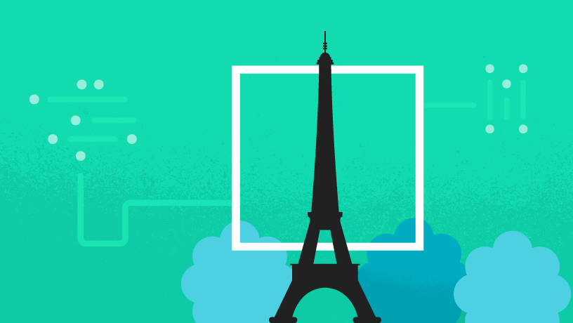
Mit der Markierungs-API von Cloud Vision können Sie bekannte Sehenswürdigkeiten in einem Bild.
Wenn Sie ein Bild an diese API übergeben, erhalten Sie die erkannten Sehenswürdigkeiten. einschließlich der geografischen Koordinaten und der Region der Sehenswürdigkeiten, Bild, in dem die Sehenswürdigkeit gefunden wurde. Anhand dieser Informationen können Sie Bildmetadaten generieren, individuelle Erfahrungen für Nutzende schaffen, basierend auf die sie teilen und vieles mehr.
Startbereit? Wählen Sie Ihre Plattform aus:
Hauptmerkmale
| Erkennt bekannte Sehenswürdigkeiten |
Ermitteln Sie den Namen und die geografischen Koordinaten von natürlichen und gebauten Sehenswürdigkeiten sowie der Bereich des Bildes, in dem die Sehenswürdigkeit gefunden wurde. In der Cloud Vision API-Demo können Sie sehen, welche Sehenswürdigkeiten in einem von Ihnen bereitgestellten Bild zu finden sind. |
| Google Knowledge Graph-Entitäts-IDs abrufen | Eine Knowledge Graph-Entitäts-ID ist ein String, der das erkannte Wahrzeichen eindeutig identifiziert. Es handelt sich dabei um dieselbe ID, die auch von der Knowledge Graph Search API verwendet wird. Sie können diesen String verwenden, um eine Entität in Sprachen und unabhängig von der Formatierung der Textbeschreibung. |
| Kostenlose Nutzung bei geringem Volumen | Die ersten 1.000 Verwendungen dieser Funktion pro Monat sind kostenlos: Weitere Informationen zu den Preisen |
Beispielergebnisse
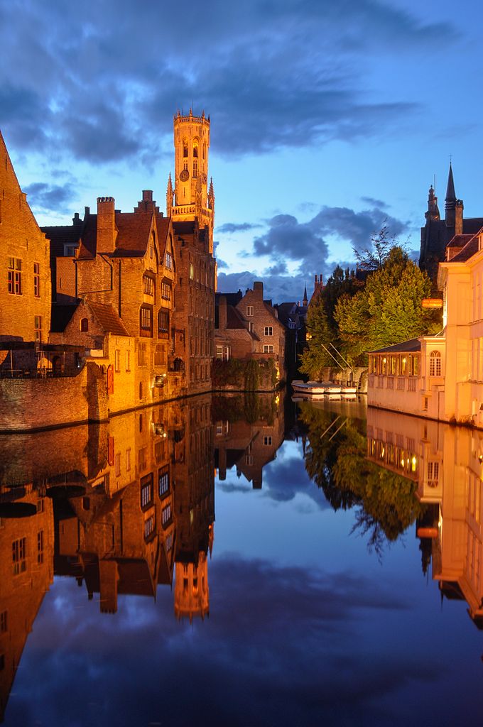
|
|
||||||||||||