
অনেক অ্যাপে এমন ডকুমেন্ট থাকে যা ভৌতিক অবস্থান অনুসারে সূচিবদ্ধ করা হয়। উদাহরণস্বরূপ, আপনার অ্যাপ ব্যবহারকারীদের তাদের বর্তমান অবস্থানের কাছাকাছি দোকানগুলো ব্রাউজ করার সুযোগ দিতে পারে।
সমাধান: জিওহ্যাশ
জিওহ্যাশ হলো একটি (latitude, longitude) জোড়াকে একটিমাত্র Base32 স্ট্রিং-এ এনকোড করার একটি পদ্ধতি। জিওহ্যাশ পদ্ধতিতে পৃথিবীকে একটি আয়তাকার গ্রিডে ভাগ করা হয়। একটি জিওহ্যাশ স্ট্রিং-এর প্রতিটি অক্ষর প্রিফিক্স হ্যাশের ৩২টি উপবিভাগের মধ্যে একটিকে নির্দিষ্ট করে। উদাহরণস্বরূপ, জিওহ্যাশ abcd হলো ৩২টি চার-অক্ষরের হ্যাশের মধ্যে একটি, যা বৃহত্তর জিওহ্যাশ abc মধ্যে সম্পূর্ণরূপে অন্তর্ভুক্ত।
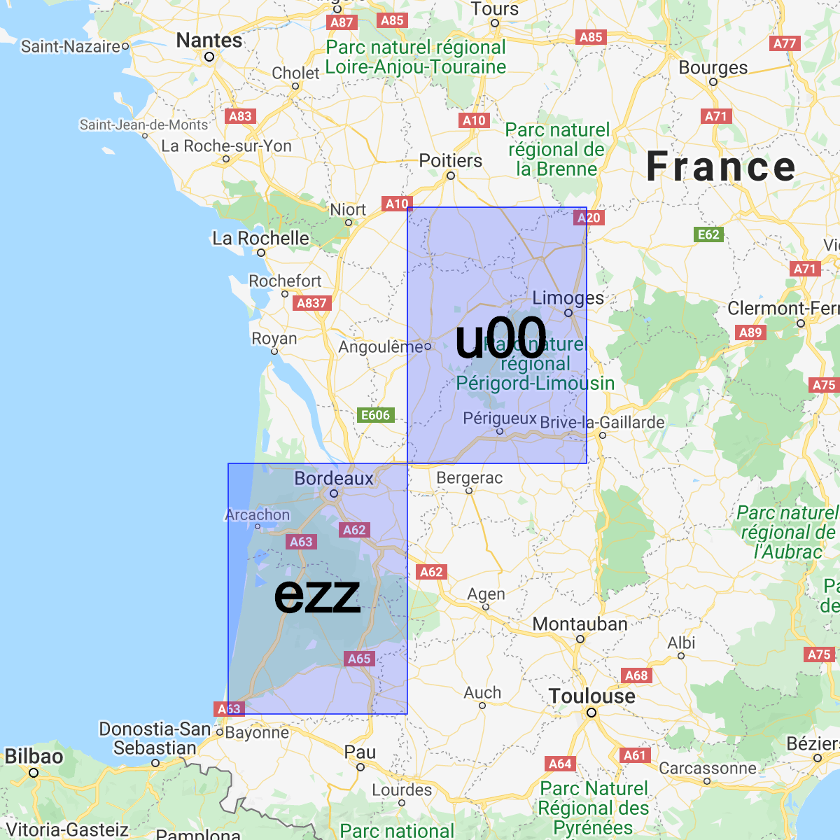
দুটি হ্যাশের মধ্যে সাধারণ প্রিফিক্স যত দীর্ঘ হয়, তারা একে অপরের তত কাছাকাছি হয়। উদাহরণস্বরূপ abcdef , abcdeg এর চেয়ে abcdff বেশি কাছাকাছি। তবে এর বিপরীতটি সত্য নয়! দুটি এলাকা একে অপরের খুব কাছাকাছি থাকা সত্ত্বেও তাদের জিওহ্যাশ খুব ভিন্ন হতে পারে:
আমরা জিওহ্যাশ ব্যবহার করে Cloud Firestore অবস্থান অনুসারে ডকুমেন্ট সংরক্ষণ ও কোয়েরি করতে পারি, যা যথেষ্ট দক্ষতার সাথে এবং শুধুমাত্র একটি ইনডেক্সড ফিল্ডের মাধ্যমেই সম্ভব।
সহায়ক লাইব্রেরি ইনস্টল করুন
জিওহ্যাশ তৈরি এবং পার্স করার ক্ষেত্রে কিছু জটিল গাণিতিক বিষয় জড়িত, তাই আমরা অ্যান্ড্রয়েড, অ্যাপল এবং ওয়েবের জন্য সবচেয়ে কঠিন অংশগুলোকে সহজ করতে সহায়ক লাইব্রেরি তৈরি করেছি:
Web
// Install from NPM. If you prefer to use a static .js file visit
// https://github.com/firebase/geofire-js/releases and download
// geofire-common.min.js from the latest version
npm install --save geofire-common
Web
// Install from NPM. If you prefer to use a static .js file visit
// https://github.com/firebase/geofire-js/releases and download
// geofire-common.min.js from the latest version
npm install --save geofire-common
সুইফট
Kotlin
// Add this to your app/build.gradle
implementation 'com.firebase:geofire-android-common:3.2.0'
Java
// Add this to your app/build.gradle
implementation 'com.firebase:geofire-android-common:3.1.0'
জিওহ্যাশ সংরক্ষণ করুন
অবস্থান অনুসারে সূচীবদ্ধ করতে চান এমন প্রতিটি নথির জন্য আপনাকে একটি জিওহ্যাশ ফিল্ড সংরক্ষণ করতে হবে:
Web
import { doc, updateDoc } from 'firebase/firestore'; // Compute the GeoHash for a lat/lng point const lat = 51.5074; const lng = 0.1278; const hash = geofire.geohashForLocation([lat, lng]); // Add the hash and the lat/lng to the document. We will use the hash // for queries and the lat/lng for distance comparisons. const londonRef = doc(db, 'cities', 'LON'); await updateDoc(londonRef, { geohash: hash, lat: lat, lng: lng });
Web
// Compute the GeoHash for a lat/lng point const lat = 51.5074; const lng = 0.1278; const hash = geofire.geohashForLocation([lat, lng]); // Add the hash and the lat/lng to the document. We will use the hash // for queries and the lat/lng for distance comparisons. const londonRef = db.collection('cities').doc('LON'); londonRef.update({ geohash: hash, lat: lat, lng: lng }).then(() => { // ... });
সুইফট
// Compute the GeoHash for a lat/lng point let latitude = 51.5074 let longitude = 0.12780 let location = CLLocationCoordinate2D(latitude: latitude, longitude: longitude) let hash = GFUtils.geoHash(forLocation: location) // Add the hash and the lat/lng to the document. We will use the hash // for queries and the lat/lng for distance comparisons. let documentData: [String: Any] = [ "geohash": hash, "lat": latitude, "lng": longitude ] let londonRef = db.collection("cities").document("LON") londonRef.updateData(documentData) { error in // ... }
Kotlin
// Compute the GeoHash for a lat/lng point val lat = 51.5074 val lng = 0.1278 val hash = GeoFireUtils.getGeoHashForLocation(GeoLocation(lat, lng)) // Add the hash and the lat/lng to the document. We will use the hash // for queries and the lat/lng for distance comparisons. val updates: MutableMap<String, Any> = mutableMapOf( "geohash" to hash, "lat" to lat, "lng" to lng, ) val londonRef = db.collection("cities").document("LON") londonRef.update(updates) .addOnCompleteListener { // ... }
Java
// Compute the GeoHash for a lat/lng point double lat = 51.5074; double lng = 0.1278; String hash = GeoFireUtils.getGeoHashForLocation(new GeoLocation(lat, lng)); // Add the hash and the lat/lng to the document. We will use the hash // for queries and the lat/lng for distance comparisons. Map<String, Object> updates = new HashMap<>(); updates.put("geohash", hash); updates.put("lat", lat); updates.put("lng", lng); DocumentReference londonRef = db.collection("cities").document("LON"); londonRef.update(updates) .addOnCompleteListener(new OnCompleteListener<Void>() { @Override public void onComplete(@NonNull Task<Void> task) { // ... } });
জিওহ্যাশ অনুসন্ধান করুন
জিওহ্যাশ আমাদেরকে জিওহ্যাশ ফিল্ডের উপর ভিত্তি করে একাধিক কোয়েরি যুক্ত করে এবং তারপর কিছু ভুল ফলাফল ফিল্টার করে একটি আনুমানিক এলাকা নির্ণয়ের সুযোগ দেয়:
Web
import { collection, query, orderBy, startAt, endAt, getDocs } from 'firebase/firestore'; // Find cities within 50km of London const center = [51.5074, 0.1278]; const radiusInM = 50 * 1000; // Each item in 'bounds' represents a startAt/endAt pair. We have to issue // a separate query for each pair. There can be up to 9 pairs of bounds // depending on overlap, but in most cases there are 4. // @ts-ignore const bounds = geofire.geohashQueryBounds(center, radiusInM); const promises = []; for (const b of bounds) { const q = query( collection(db, 'cities'), orderBy('geohash'), startAt(b[0]), endAt(b[1])); promises.push(getDocs(q)); } // Collect all the query results together into a single list const snapshots = await Promise.all(promises); const matchingDocs = []; for (const snap of snapshots) { for (const doc of snap.docs) { const lat = doc.get('lat'); const lng = doc.get('lng'); // We have to filter out a few false positives due to GeoHash // accuracy, but most will match // @ts-ignore const distanceInKm = geofire.distanceBetween([lat, lng], center); const distanceInM = distanceInKm * 1000; if (distanceInM <= radiusInM) { matchingDocs.push(doc); } } }
Web
// Find cities within 50km of London const center = [51.5074, 0.1278]; const radiusInM = 50 * 1000; // Each item in 'bounds' represents a startAt/endAt pair. We have to issue // a separate query for each pair. There can be up to 9 pairs of bounds // depending on overlap, but in most cases there are 4. const bounds = geofire.geohashQueryBounds(center, radiusInM); const promises = []; for (const b of bounds) { const q = db.collection('cities') .orderBy('geohash') .startAt(b[0]) .endAt(b[1]); promises.push(q.get()); } // Collect all the query results together into a single list Promise.all(promises).then((snapshots) => { const matchingDocs = []; for (const snap of snapshots) { for (const doc of snap.docs) { const lat = doc.get('lat'); const lng = doc.get('lng'); // We have to filter out a few false positives due to GeoHash // accuracy, but most will match const distanceInKm = geofire.distanceBetween([lat, lng], center); const distanceInM = distanceInKm * 1000; if (distanceInM <= radiusInM) { matchingDocs.push(doc); } } } return matchingDocs; }).then((matchingDocs) => { // Process the matching documents // ... });
সুইফট
// Find cities within 50km of London let center = CLLocationCoordinate2D(latitude: 51.5074, longitude: 0.1278) let radiusInM: Double = 50 * 1000 // Each item in 'bounds' represents a startAt/endAt pair. We have to issue // a separate query for each pair. There can be up to 9 pairs of bounds // depending on overlap, but in most cases there are 4. let queryBounds = GFUtils.queryBounds(forLocation: center, withRadius: radiusInM) let queries = queryBounds.map { bound -> Query in return db.collection("cities") .order(by: "geohash") .start(at: [bound.startValue]) .end(at: [bound.endValue]) } @Sendable func fetchMatchingDocs(from query: Query, center: CLLocationCoordinate2D, radiusInMeters: Double) async throws -> [QueryDocumentSnapshot] { let snapshot = try await query.getDocuments() // Collect all the query results together into a single list return snapshot.documents.filter { document in let lat = document.data()["lat"] as? Double ?? 0 let lng = document.data()["lng"] as? Double ?? 0 let coordinates = CLLocation(latitude: lat, longitude: lng) let centerPoint = CLLocation(latitude: center.latitude, longitude: center.longitude) // We have to filter out a few false positives due to GeoHash accuracy, but // most will match let distance = GFUtils.distance(from: centerPoint, to: coordinates) return distance <= radiusInM } } // After all callbacks have executed, matchingDocs contains the result. Note that this code // executes all queries serially, which may not be optimal for performance. do { let matchingDocs = try await withThrowingTaskGroup(of: [QueryDocumentSnapshot].self) { group -> [QueryDocumentSnapshot] in for query in queries { group.addTask { try await fetchMatchingDocs(from: query, center: center, radiusInMeters: radiusInM) } } var matchingDocs = [QueryDocumentSnapshot]() for try await documents in group { matchingDocs.append(contentsOf: documents) } return matchingDocs } print("Docs matching geoquery: \(matchingDocs)") } catch { print("Unable to fetch snapshot data. \(error)") }
Kotlin
// Find cities within 50km of London val center = GeoLocation(51.5074, 0.1278) val radiusInM = 50.0 * 1000.0 // Each item in 'bounds' represents a startAt/endAt pair. We have to issue // a separate query for each pair. There can be up to 9 pairs of bounds // depending on overlap, but in most cases there are 4. val bounds = GeoFireUtils.getGeoHashQueryBounds(center, radiusInM) val tasks: MutableList<Task<QuerySnapshot>> = ArrayList() for (b in bounds) { val q = db.collection("cities") .orderBy("geohash") .startAt(b.startHash) .endAt(b.endHash) tasks.add(q.get()) } // Collect all the query results together into a single list Tasks.whenAllComplete(tasks) .addOnCompleteListener { val matchingDocs: MutableList<DocumentSnapshot> = ArrayList() for (task in tasks) { val snap = task.result for (doc in snap!!.documents) { val lat = doc.getDouble("lat")!! val lng = doc.getDouble("lng")!! // We have to filter out a few false positives due to GeoHash // accuracy, but most will match val docLocation = GeoLocation(lat, lng) val distanceInM = GeoFireUtils.getDistanceBetween(docLocation, center) if (distanceInM <= radiusInM) { matchingDocs.add(doc) } } } // matchingDocs contains the results // ... }
Java
// Find cities within 50km of London final GeoLocation center = new GeoLocation(51.5074, 0.1278); final double radiusInM = 50 * 1000; // Each item in 'bounds' represents a startAt/endAt pair. We have to issue // a separate query for each pair. There can be up to 9 pairs of bounds // depending on overlap, but in most cases there are 4. List<GeoQueryBounds> bounds = GeoFireUtils.getGeoHashQueryBounds(center, radiusInM); final List<Task<QuerySnapshot>> tasks = new ArrayList<>(); for (GeoQueryBounds b : bounds) { Query q = db.collection("cities") .orderBy("geohash") .startAt(b.startHash) .endAt(b.endHash); tasks.add(q.get()); } // Collect all the query results together into a single list Tasks.whenAllComplete(tasks) .addOnCompleteListener(new OnCompleteListener<List<Task<?>>>() { @Override public void onComplete(@NonNull Task<List<Task<?>>> t) { List<DocumentSnapshot> matchingDocs = new ArrayList<>(); for (Task<QuerySnapshot> task : tasks) { QuerySnapshot snap = task.getResult(); for (DocumentSnapshot doc : snap.getDocuments()) { double lat = doc.getDouble("lat"); double lng = doc.getDouble("lng"); // We have to filter out a few false positives due to GeoHash // accuracy, but most will match GeoLocation docLocation = new GeoLocation(lat, lng); double distanceInM = GeoFireUtils.getDistanceBetween(docLocation, center); if (distanceInM <= radiusInM) { matchingDocs.add(doc); } } } // matchingDocs contains the results // ... } });
সীমাবদ্ধতা
অবস্থান অনুসন্ধানের জন্য জিওহ্যাশ ব্যবহার করলে আমরা নতুন সক্ষমতা পাই, কিন্তু এর নিজস্ব কিছু সীমাবদ্ধতাও রয়েছে:
- ফলস পজিটিভ - জিওহ্যাশ দ্বারা কোয়েরি করা নির্ভুল হয় না, এবং আপনাকে ক্লায়েন্ট সাইডে ফলস-পজিটিভ ফলাফলগুলো ফিল্টার করে বাদ দিতে হয়। এই অতিরিক্ত রিডগুলো আপনার অ্যাপের খরচ এবং ল্যাটেন্সি বাড়িয়ে দেয়।
- এজ কেস - এই কোয়েরি পদ্ধতিটি দ্রাঘিমাংশ/অক্ষাংশ রেখাগুলির মধ্যে দূরত্ব অনুমান করার উপর নির্ভর করে। পয়েন্টগুলি উত্তর বা দক্ষিণ মেরুর যত কাছাকাছি আসে, এই অনুমানের নির্ভুলতা তত কমে যায়, যার অর্থ হলো চরম অক্ষাংশে জিওহ্যাশ কোয়েরিতে আরও বেশি ফলস পজিটিভ দেখা যায়।