
بسیاری از برنامهها اسنادی دارند که بر اساس مکانهای فیزیکی فهرستبندی شدهاند. برای مثال، برنامه شما ممکن است به کاربران اجازه دهد فروشگاههای نزدیک مکان فعلی خود را مرور کنند.
راه حل: ژئوهشها
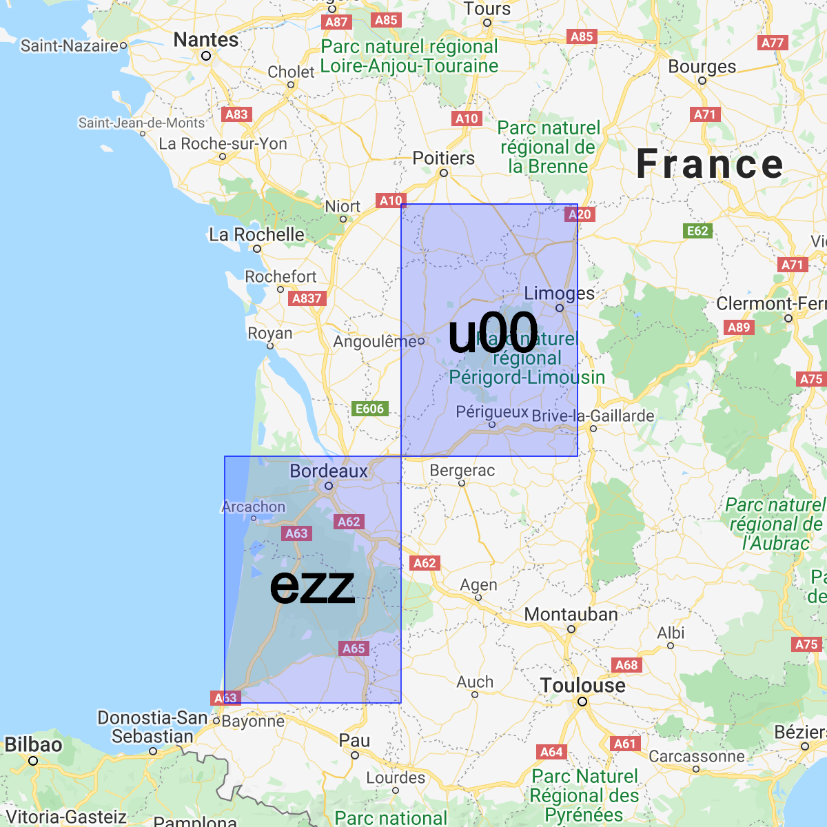
Geohash سیستمی برای رمزگذاری یک جفت (latitude, longitude) به یک رشته Base32 واحد است. در سیستم Geohash، جهان به یک شبکه مستطیلی تقسیم میشود. هر کاراکتر از یک رشته Geohash، یکی از ۳۲ زیربخش پیشوند هش را مشخص میکند. به عنوان مثال، Geohash abcd یکی از ۳۲ هش چهار کاراکتری است که به طور کامل در Geohash بزرگتر abc قرار دارد.
هر چه پیشوند مشترک بین دو هش طولانیتر باشد، آنها به یکدیگر نزدیکتر هستند. برای مثال abcdef به abcdeg نزدیکتر است تا abcdff . با این حال، عکس این قضیه صادق نیست! دو منطقه ممکن است بسیار به یکدیگر نزدیک باشند، در حالی که Geohash های بسیار متفاوتی داشته باشند:
ما میتوانیم از Geohashes برای ذخیره و پرسوجوی اسناد بر اساس موقعیت در Cloud Firestore با کارایی معقول استفاده کنیم، در حالی که فقط به یک فیلد ایندکسشده نیاز داریم.
نصب کتابخانه کمکی
ایجاد و تجزیه Geohasheها شامل برخی محاسبات پیچیده است، بنابراین ما کتابخانههای کمکی ایجاد کردیم تا دشوارترین بخشها را در اندروید، اپل و وب خلاصه کنیم:
Web
// Install from NPM. If you prefer to use a static .js file visit
// https://github.com/firebase/geofire-js/releases and download
// geofire-common.min.js from the latest version
npm install --save geofire-common
Web
// Install from NPM. If you prefer to use a static .js file visit
// https://github.com/firebase/geofire-js/releases and download
// geofire-common.min.js from the latest version
npm install --save geofire-common
سویفت
Kotlin
// Add this to your app/build.gradle
implementation 'com.firebase:geofire-android-common:3.2.0'
Java
// Add this to your app/build.gradle
implementation 'com.firebase:geofire-android-common:3.1.0'
ژئوهشهای فروشگاه
برای هر سندی که میخواهید بر اساس مکان فهرستبندی کنید، باید یک فیلد Geohash ذخیره کنید:
Web
import { doc, updateDoc } from 'firebase/firestore'; // Compute the GeoHash for a lat/lng point const lat = 51.5074; const lng = 0.1278; const hash = geofire.geohashForLocation([lat, lng]); // Add the hash and the lat/lng to the document. We will use the hash // for queries and the lat/lng for distance comparisons. const londonRef = doc(db, 'cities', 'LON'); await updateDoc(londonRef, { geohash: hash, lat: lat, lng: lng });
Web
// Compute the GeoHash for a lat/lng point const lat = 51.5074; const lng = 0.1278; const hash = geofire.geohashForLocation([lat, lng]); // Add the hash and the lat/lng to the document. We will use the hash // for queries and the lat/lng for distance comparisons. const londonRef = db.collection('cities').doc('LON'); londonRef.update({ geohash: hash, lat: lat, lng: lng }).then(() => { // ... });
سویفت
// Compute the GeoHash for a lat/lng point let latitude = 51.5074 let longitude = 0.12780 let location = CLLocationCoordinate2D(latitude: latitude, longitude: longitude) let hash = GFUtils.geoHash(forLocation: location) // Add the hash and the lat/lng to the document. We will use the hash // for queries and the lat/lng for distance comparisons. let documentData: [String: Any] = [ "geohash": hash, "lat": latitude, "lng": longitude ] let londonRef = db.collection("cities").document("LON") londonRef.updateData(documentData) { error in // ... }
Kotlin
// Compute the GeoHash for a lat/lng point val lat = 51.5074 val lng = 0.1278 val hash = GeoFireUtils.getGeoHashForLocation(GeoLocation(lat, lng)) // Add the hash and the lat/lng to the document. We will use the hash // for queries and the lat/lng for distance comparisons. val updates: MutableMap<String, Any> = mutableMapOf( "geohash" to hash, "lat" to lat, "lng" to lng, ) val londonRef = db.collection("cities").document("LON") londonRef.update(updates) .addOnCompleteListener { // ... }
Java
// Compute the GeoHash for a lat/lng point double lat = 51.5074; double lng = 0.1278; String hash = GeoFireUtils.getGeoHashForLocation(new GeoLocation(lat, lng)); // Add the hash and the lat/lng to the document. We will use the hash // for queries and the lat/lng for distance comparisons. Map<String, Object> updates = new HashMap<>(); updates.put("geohash", hash); updates.put("lat", lat); updates.put("lng", lng); DocumentReference londonRef = db.collection("cities").document("LON"); londonRef.update(updates) .addOnCompleteListener(new OnCompleteListener<Void>() { @Override public void onComplete(@NonNull Task<Void> task) { // ... } });
ژئوهشهای کوئری
Geohashها به ما این امکان را میدهند که با اتصال مجموعهای از پرسوجوها در فیلد Geohash و سپس فیلتر کردن برخی از نتایج مثبت کاذب، پرسوجوهای مساحت را تخمین بزنیم:
Web
import { collection, query, orderBy, startAt, endAt, getDocs } from 'firebase/firestore'; // Find cities within 50km of London const center = [51.5074, 0.1278]; const radiusInM = 50 * 1000; // Each item in 'bounds' represents a startAt/endAt pair. We have to issue // a separate query for each pair. There can be up to 9 pairs of bounds // depending on overlap, but in most cases there are 4. // @ts-ignore const bounds = geofire.geohashQueryBounds(center, radiusInM); const promises = []; for (const b of bounds) { const q = query( collection(db, 'cities'), orderBy('geohash'), startAt(b[0]), endAt(b[1])); promises.push(getDocs(q)); } // Collect all the query results together into a single list const snapshots = await Promise.all(promises); const matchingDocs = []; for (const snap of snapshots) { for (const doc of snap.docs) { const lat = doc.get('lat'); const lng = doc.get('lng'); // We have to filter out a few false positives due to GeoHash // accuracy, but most will match // @ts-ignore const distanceInKm = geofire.distanceBetween([lat, lng], center); const distanceInM = distanceInKm * 1000; if (distanceInM <= radiusInM) { matchingDocs.push(doc); } } }
Web
// Find cities within 50km of London const center = [51.5074, 0.1278]; const radiusInM = 50 * 1000; // Each item in 'bounds' represents a startAt/endAt pair. We have to issue // a separate query for each pair. There can be up to 9 pairs of bounds // depending on overlap, but in most cases there are 4. const bounds = geofire.geohashQueryBounds(center, radiusInM); const promises = []; for (const b of bounds) { const q = db.collection('cities') .orderBy('geohash') .startAt(b[0]) .endAt(b[1]); promises.push(q.get()); } // Collect all the query results together into a single list Promise.all(promises).then((snapshots) => { const matchingDocs = []; for (const snap of snapshots) { for (const doc of snap.docs) { const lat = doc.get('lat'); const lng = doc.get('lng'); // We have to filter out a few false positives due to GeoHash // accuracy, but most will match const distanceInKm = geofire.distanceBetween([lat, lng], center); const distanceInM = distanceInKm * 1000; if (distanceInM <= radiusInM) { matchingDocs.push(doc); } } } return matchingDocs; }).then((matchingDocs) => { // Process the matching documents // ... });
سویفت
// Find cities within 50km of London let center = CLLocationCoordinate2D(latitude: 51.5074, longitude: 0.1278) let radiusInM: Double = 50 * 1000 // Each item in 'bounds' represents a startAt/endAt pair. We have to issue // a separate query for each pair. There can be up to 9 pairs of bounds // depending on overlap, but in most cases there are 4. let queryBounds = GFUtils.queryBounds(forLocation: center, withRadius: radiusInM) let queries = queryBounds.map { bound -> Query in return db.collection("cities") .order(by: "geohash") .start(at: [bound.startValue]) .end(at: [bound.endValue]) } @Sendable func fetchMatchingDocs(from query: Query, center: CLLocationCoordinate2D, radiusInMeters: Double) async throws -> [QueryDocumentSnapshot] { let snapshot = try await query.getDocuments() // Collect all the query results together into a single list return snapshot.documents.filter { document in let lat = document.data()["lat"] as? Double ?? 0 let lng = document.data()["lng"] as? Double ?? 0 let coordinates = CLLocation(latitude: lat, longitude: lng) let centerPoint = CLLocation(latitude: center.latitude, longitude: center.longitude) // We have to filter out a few false positives due to GeoHash accuracy, but // most will match let distance = GFUtils.distance(from: centerPoint, to: coordinates) return distance <= radiusInM } } // After all callbacks have executed, matchingDocs contains the result. Note that this code // executes all queries serially, which may not be optimal for performance. do { let matchingDocs = try await withThrowingTaskGroup(of: [QueryDocumentSnapshot].self) { group -> [QueryDocumentSnapshot] in for query in queries { group.addTask { try await fetchMatchingDocs(from: query, center: center, radiusInMeters: radiusInM) } } var matchingDocs = [QueryDocumentSnapshot]() for try await documents in group { matchingDocs.append(contentsOf: documents) } return matchingDocs } print("Docs matching geoquery: \(matchingDocs)") } catch { print("Unable to fetch snapshot data. \(error)") }
Kotlin
// Find cities within 50km of London val center = GeoLocation(51.5074, 0.1278) val radiusInM = 50.0 * 1000.0 // Each item in 'bounds' represents a startAt/endAt pair. We have to issue // a separate query for each pair. There can be up to 9 pairs of bounds // depending on overlap, but in most cases there are 4. val bounds = GeoFireUtils.getGeoHashQueryBounds(center, radiusInM) val tasks: MutableList<Task<QuerySnapshot>> = ArrayList() for (b in bounds) { val q = db.collection("cities") .orderBy("geohash") .startAt(b.startHash) .endAt(b.endHash) tasks.add(q.get()) } // Collect all the query results together into a single list Tasks.whenAllComplete(tasks) .addOnCompleteListener { val matchingDocs: MutableList<DocumentSnapshot> = ArrayList() for (task in tasks) { val snap = task.result for (doc in snap!!.documents) { val lat = doc.getDouble("lat")!! val lng = doc.getDouble("lng")!! // We have to filter out a few false positives due to GeoHash // accuracy, but most will match val docLocation = GeoLocation(lat, lng) val distanceInM = GeoFireUtils.getDistanceBetween(docLocation, center) if (distanceInM <= radiusInM) { matchingDocs.add(doc) } } } // matchingDocs contains the results // ... }
Java
// Find cities within 50km of London final GeoLocation center = new GeoLocation(51.5074, 0.1278); final double radiusInM = 50 * 1000; // Each item in 'bounds' represents a startAt/endAt pair. We have to issue // a separate query for each pair. There can be up to 9 pairs of bounds // depending on overlap, but in most cases there are 4. List<GeoQueryBounds> bounds = GeoFireUtils.getGeoHashQueryBounds(center, radiusInM); final List<Task<QuerySnapshot>> tasks = new ArrayList<>(); for (GeoQueryBounds b : bounds) { Query q = db.collection("cities") .orderBy("geohash") .startAt(b.startHash) .endAt(b.endHash); tasks.add(q.get()); } // Collect all the query results together into a single list Tasks.whenAllComplete(tasks) .addOnCompleteListener(new OnCompleteListener<List<Task<?>>>() { @Override public void onComplete(@NonNull Task<List<Task<?>>> t) { List<DocumentSnapshot> matchingDocs = new ArrayList<>(); for (Task<QuerySnapshot> task : tasks) { QuerySnapshot snap = task.getResult(); for (DocumentSnapshot doc : snap.getDocuments()) { double lat = doc.getDouble("lat"); double lng = doc.getDouble("lng"); // We have to filter out a few false positives due to GeoHash // accuracy, but most will match GeoLocation docLocation = new GeoLocation(lat, lng); double distanceInM = GeoFireUtils.getDistanceBetween(docLocation, center); if (distanceInM <= radiusInM) { matchingDocs.add(doc); } } } // matchingDocs contains the results // ... } });
محدودیتها
استفاده از Geohashes برای جستجوی مکانها قابلیتهای جدیدی به ما میدهد، اما محدودیتهای خاص خود را نیز به همراه دارد:
- مثبت کاذب - کوئری زدن با Geohash دقیق نیست و شما باید نتایج مثبت کاذب را در سمت کلاینت فیلتر کنید. این خواندنهای اضافی هزینه و تأخیر را به برنامه شما اضافه میکنند.
- موارد حاشیهای - این روش پرسوجو بر تخمین فاصله بین خطوط طول/عرض جغرافیایی متکی است. دقت این تخمین با نزدیکتر شدن نقاط به قطب شمال یا جنوب کاهش مییابد، به این معنی که پرسوجوهای Geohash در عرضهای جغرافیایی بسیار زیاد، نتایج مثبت کاذب بیشتری دارند.